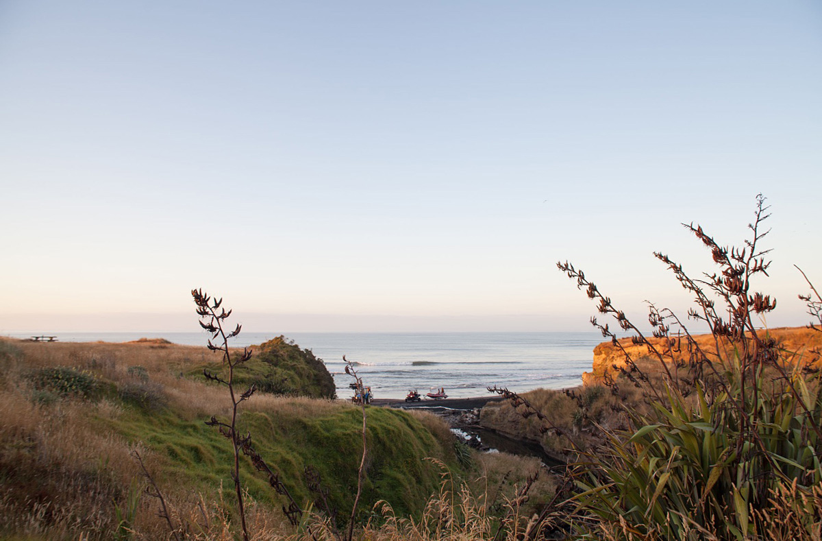
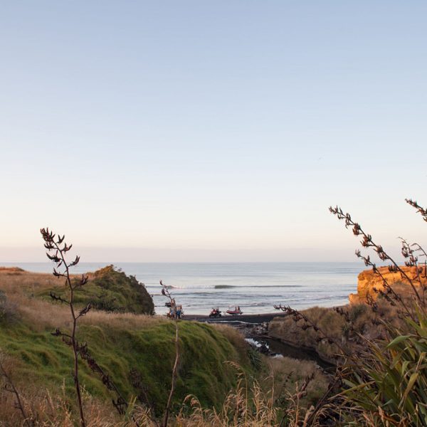
About Waipipi Beach
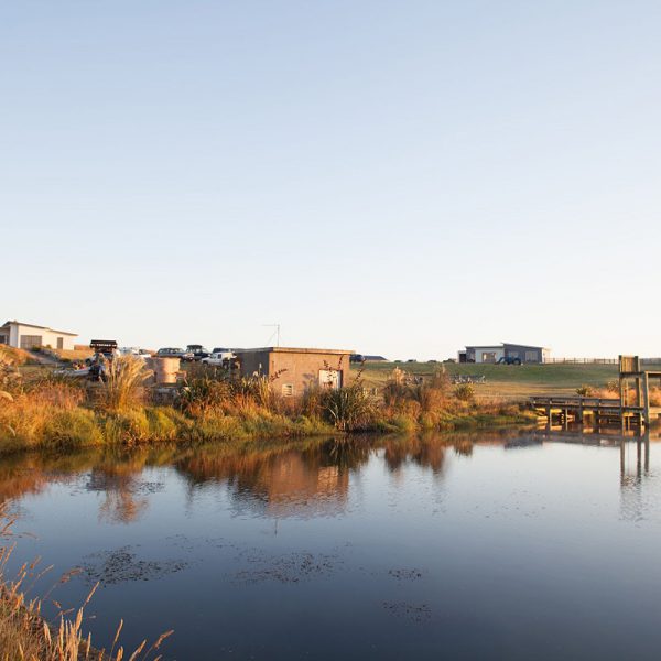
Waipipi is a private development consisting of 47 sections, 5 minutes from Waverley township and State Highway 3. The sections range from 730 to 1160 sq metres and are fifteen to twenty five metres above sea level, sloping towards the sea. All have panoramic sea views and most sections have views of the Waipipi Reservoir and the Wairoa Stream. The views inland across lush well tended farmland are magnificent and on a fine day you can see Mt Ruapehu and Mt Taranaki
There is a security gate at the entranceway to the development which ensures a safe and secure environment for the Waipipi community. The roads and park are owned and administered by an incorporated society which all section owners become members of and are able to participate in the future development of Waipipi.
There are building covenants and height restrictions in place to ensure houses blend into the landscape and maximise the views. The covenants are also in place to protect the buyers investment.
The development is in keeping with the environment with extensive plantings along the Wairoa Stream and the Waipipi Reservoir. The sections are located within a designated Coastal Protection area. The roads are sealed and the berms grassed and mowed. Services provided are power, water and phone. There is a sealed 600 metre private airstrip 2 kms from the development.
Our History
Waipipi has always been used as a place to fish and gather food. The tangata whenua of the area, Nga Rauru and Pakakohe, have traditionally used the coastal strip from Waitotara to the Patea River since pre European times, as a place to sustain and nourish their people.
Waipipi also has an industrial history. The reservoir was formed as part of an ironsand mining operation which ran from 1971 to 1987 and extracted iron ore from ironsand deposits some kms along the coast. Water from the Wairoa Stream was collected in the reservoir, pumped to larger reservoirs further up the road, then mixed with the ironsand to make a slurry which was pumped to a ship anchored 3 kms offshore.
Since the closure of the ironsand operation, the land at Waipipi has been farmed as drystock grazing.
Stunning Ocean Views
Panoramic Coastal Properties
Breathtaking Sunsets
Freshwater Lake
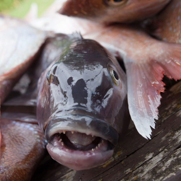
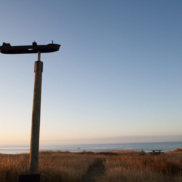
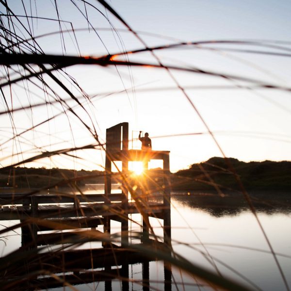
Excellent Fishing
The Developer:
The developer (Awatea Hawkes Bay Trust) represents the family interests of Roger Dickie. The Waipipi land is adjacent to 870 ha of farm land owned by the Dickie family interests. Because of this, purchasers can rely on the fact that the inland views over fertile farmland towards striking views of Mt Egmont and Mt Ruapehu will most likely remain in pastoral use.